

Center for Science and Math Education (CSME)
Transformative STEM education
Loyola CSME advances equitable, research-based approaches in STEM learning PK-16 toward a more just community and world. MORE ABOUT US
Work with us
LEARN WITH US

2026 Advanced Placement Summer Training
REGISTRATION IS NOW OPEN for the LUC Advanced Placement Summer Institute and AP Capstone Summer Institutes!!!
LEARN MORE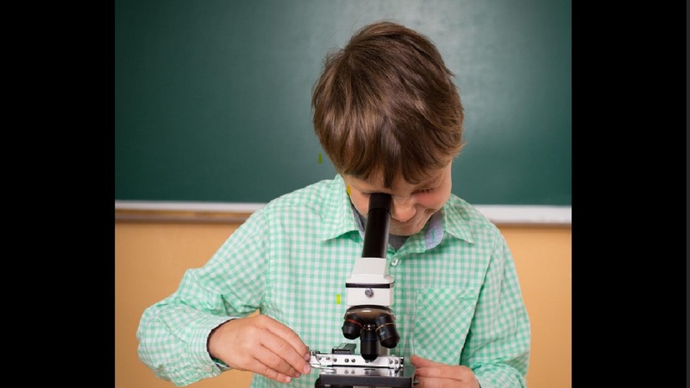
Time for New Materials?: Curriculum Adoption Guideposts for K-12 Schools and Districts
Selecting the right curriculum can be a daunting task that impacts school culture and student learning for years to come. The team at Loyola University Chicago’s Center for Science and Math Education (CSME) has identified several best practices that consistently strengthen adoption outcomes and build long-term district capacity.
LEARN MORE
Science and Math K-12 Professional Learning Opportunities
CSME focuses on established principles of effective STEM instruction aligned with current standards and research-based curricula.
LEARN MORE
Science Teacher Leadership Development
Loyola University Chicago partners with Chicago Public Schools to create an innovative system for science teacher career development.
LEARN MORENews

Loyola CSME Celebrates 2026 Golden Apple Award Recipients
CSME proudly congratulates 2026 Golden Apple Awards for Excellence in Teaching & Leadership recipients Misty Richmond and Dr. Shaka Rawls!
Learn More
Beyond100K Summit 2025!
The 2025 Beyond100k Summit brought together partners in STEM education to map new possibilities for ensuring all young people can belong and thrive in STEM. Key learning threads focused on Teacher Representation & Pathways and Classrooms of Belonging.
Learn More
Celebrating Our Science Master Teacher Leaders: A Journey of Growth, Leadership, and Impact
As the final year of the Science Master Teacher Leader Academy (MTLA) program comes to a close, we celebrate a remarkable group of educators whose passion for science, commitment to student learning, and drive for continuous improvement have made a lasting impact on their classrooms and across our district.
Learn More
CARE 6-12 Brings Environmental Research to Chicago Public Schools
A groundbreaking collaboration between Loyola University Chicago and CPS empowers science teachers with real-world air-quality research and classroom-ready tools.
Learn MoreCultivating School-Wide Implementation of NGSS
To achieve the vision of the Next Generation Science Standards (NGSS), science instruction must be supported every day, all year and in all grades. Our center seeks to understand what kinds of supports are needed to help science teachers act as leaders in their buildings in order to promote sustainable science instruction aligned with NGSS.
CONNECTING WITH THE COMMUNITY
LEADERSHIP SPOTLIGHT
Beyond the Cohort: Mariel Melesio
This “Where Are They Now?” feature celebrates the journeys of past participants in Loyola CSME programs. LEARN MORE
TEACHER SPOTLIGHT

Nina Hike: Westinghouse College Prep HS
Nina (pronounced nine-ah) is an advocate for social justice led science instruction. From highlighting women in science to environmental racism on Chicago's east side, she embeds culturally relevant experiences into her science lab. LEARN MORE
SCHOOLS WE SUPPORT

Loyola CSME Partner Schools
Loyola CSME empowers over 60 Chicago schools, aiding over 130 locally since 2010. LEARN MORE